
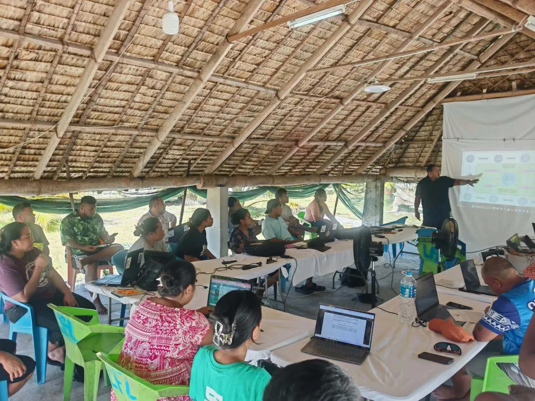
The Kiribati Marine Spatial Planning Coordinating Committee (KMSPCC) successfully completed its first round of consultation and brainstorming retreat from 21–25 October 2026, developing the initial structure of the proposed Marine Spatial Planning (MSP) Act.
The retreat forms part of ongoing consultations on Kiribati’s MSP legal framework, with the first draft targeted for completion this year. The proposed Act aims to provide a coordinated framework for managing ocean activities and the use of ocean space by different stakeholders, helping prevent conflicting uses, reduce disputes, and support sustainable development and conservation.
During the retreat, the GIS Subcommittee also consulted members on geospatial and marine data needs, information sharing, and proposed data provisions for the Act. These discussions informed the development of a draft MSP Data Governance and Protocol.
This milestone lays the foundation for stronger coordination, inclusive decision-making, and the long-term sustainability of marine spatial planning in Kiribati.
We sincerely thank our legal adviser, Mrs Ruria Iteraera, for guiding the legal discussions, and all KMSPCC members for their commitment and active participation.
We also extend our appreciation to the New Zealand Ministry of Foreign Affairs and Trade (MFAT) for funding the retreat, and Earth Sciences New Zealand for providing technical support to the GIS Subcommittee.